RST Apology to Tasmanian Aboriginal people 2021.
RST Apology to Tasmanian Aboriginal people 2021.

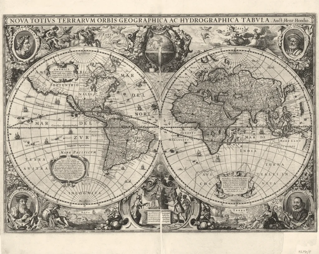


World, Henricus Hondius 1630 from The Royal Society of Tasmania’s Map Collection
Nova Totius Terrarum Orbis Geographica ac Hydrographica Tabula
This richly decorative map is a later edition of the original which was first published in the Mercator-Hondius Atlas in 1630. At the time it was seen as one of the most beautiful maps of the world. It's map creator was Dutchman Hendrik Hondius. The ornate border displays portraits of Caesar, Ptolemy, Gerard Mercator and Judocus Hondius. This map depicts the world in two spheres, including Dutch discoveries in the Gulf of Carpentaria, shown separately from the Terra Australis Incognita, or the ‘unknown southern land’ which remains, although with the line printed more faintly than the rest of map. Includes 'Beach Prov.'. . From Hondius Atlas, published 1633. Names in Dutch added.
(paper folio 53 cm x 37 cm)
Royal Society Map Collection RS.Mp5
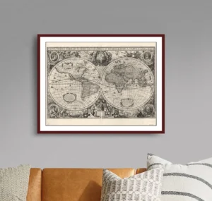
Prints are scaled to the selected paper size allowing a 20mm margin for matting and framing. If you would like to order a map printed to the original document size then please contact the RST office for a price and to order.

The Royal Society of Tasmania acknowledges, with deep respect, the traditional owners of this land, and the ongoing custodianship of the Aboriginal people of Tasmania. The Society pays respect to Elders past, present and emerging. We acknowledge that Tasmanian Aboriginal Peoples have survived severe and unjust impacts resulting from invasion and dispossession of their Country. As an institution dedicated to the advancement of knowledge, the Royal Society of Tasmania recognises Aboriginal cultural knowledge and practices and seeks to respect and honour these traditions and the deep understanding they represent.
On 15 February 2021, the Royal Society of Tasmania offered a formal Apology to the Tasmanian Aboriginal people.