Post Graduate night
‘Like a Nobleman’s Park’: The Landscape of an Expanding Colony
Imogen Wegman, University of Tasmania
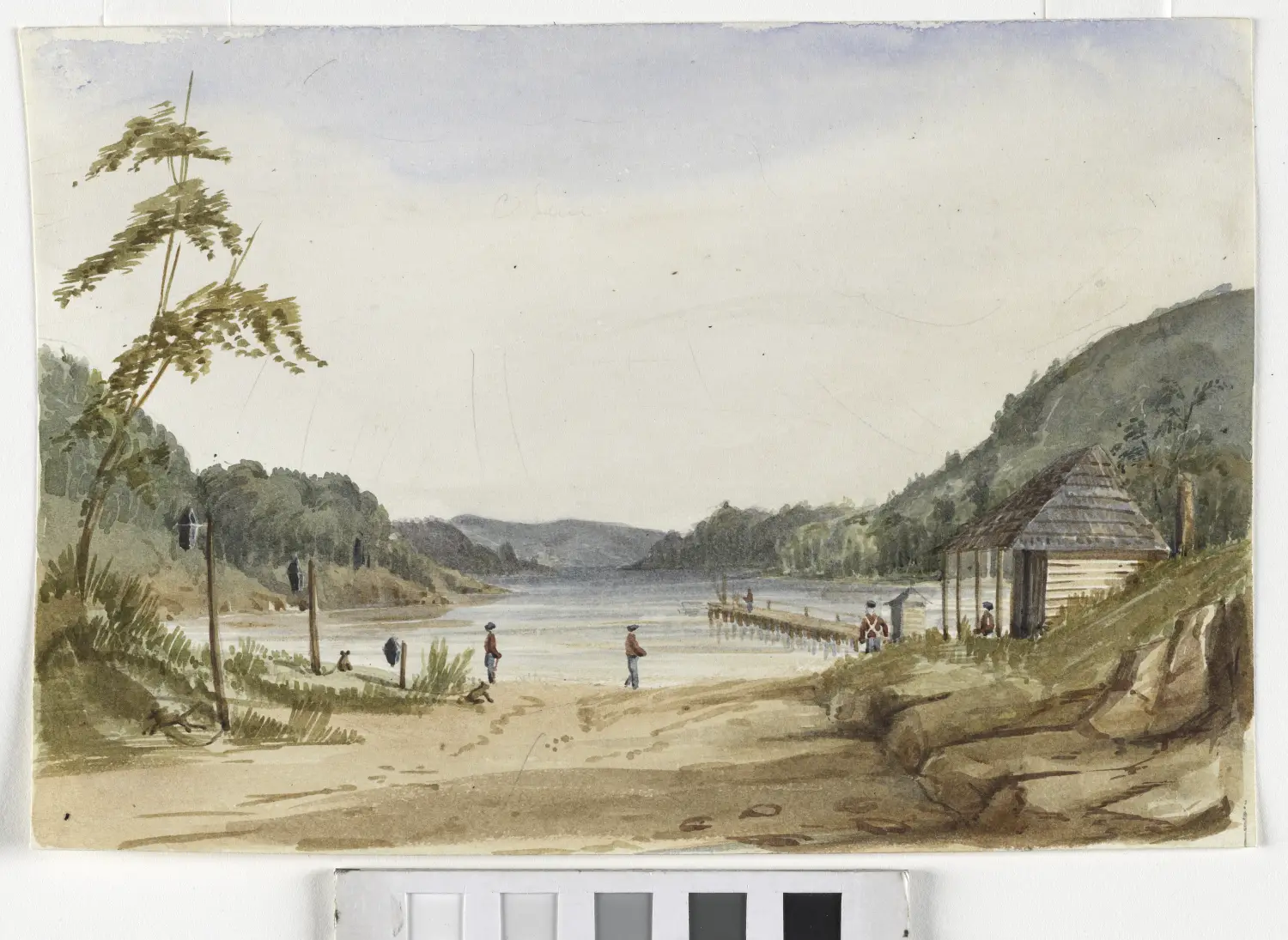
Following the 1803 British settlement of Tasmania the land was roughly mapped. Over the next thirty years much of this was granted out to settlers. Though the intentions and official procedure are well-documented, the actual process has never been systematically analysed. This paper discusses the potential for using Geographic Information Systems (GIS) to bring a systematic geospatial approach to aid understandings of the developmental stages of a colony. Using land conveyance records and maps, surveyors’ journals, official papers and muster data, the paper will demonstrate the capacity for creating a visual and data-rich image of European expansion throughout the first thirty years of the Van Diemen’s Land colony. In particular the paper will discuss ways of using GIS to visually explore settler exploitation of pre-1803 land-use patterns, the stepped transition from a subsistence to export economy, and the distinct patterns of settlement expansion.
Imogen Wegman (BA LLB MA) is a PhD candidate at the University of Tasmania. Her thesis explores the use of GIS to examine the early land grants of Van Diemen’s Land. She completed her MA in Landscape History at the University of East Anglia in the U.K.
DRONES FOR NATURAL LANDFORM MAPPING
Dr Stephen Harwin, School of Land and Food, University of Tasmania
Drones (AKA Unmanned aerial vehicles (UAVs)) have become a cost-effective tool for surveying and mapping. UAV photogrammetry using computer vision to create 3D models using hundreds of photographs from a range of angles is becoming increasingly popular for 3D reconstruction surveys. Dr Harwin’s PhD investigated methods for accurately mapping natural landforms using low altitude drone photography. His research has improved our understanding of camera network design, camera calibration, and data processing to support mapping and detecting change in complex landforms. His PhD was the first to robustly assess the accuracy of drone photogrammetry by evaluating survey design considerations (camera network design, camera calibration, and ground control density and distribution). This presentation will describe how drones can be used to provide accurate and complete 3D reconstructions of coastal shoreline, focusing on assessing the accuracy of the drone survey technique to better understand the scale of change that can be detected.
Dr Harwin was recently awarded a PhD in Spatial Science focusing on mapping with drones. He is a researcher with the TerraLuma Drone Research Team (www.terraluma.net). My research focuses on fine scale landform change monitoring with drones, photogrammetry, LiDAR and remote sensing. Dr Harwin is a licensed UAV pilot (multi-rotor and fixed wing). I have over ten years’ experience as a GIS and web mapping specialist and spatial software engineer.
NEW METHOD FOR THE EXTRACTION OF NATURAL PRODUCTS FROM PLANTS
Jeremy Just, School of Physical Sciences.
Plants remain an important source of small organic molecules for chemical synthesis applications. Laboratory equipment for the extraction of these molecules can be expensive, and the techniques time consuming. A standard household espresso machine has been tested and used for the rapid and efficient extraction of plant material. This method has allowed researchers in organic synthesis at the University of Tasmania to isolate complex organic molecules, otherwise unavailable, for use in their research.
Tuesday 6 October, 8.00 pm Royal Society Room, Customs House Building, TMAG,
19 Davey St. Hobart (entry from Dunn Place)
All interested people are welcome
Admission is free